


Disappearance of the former deputy director of the ANA/ Details from the family's complaint
New details emerge from the complaint about the disappeara...

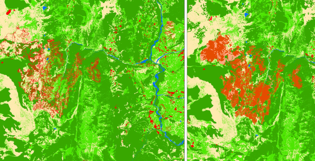
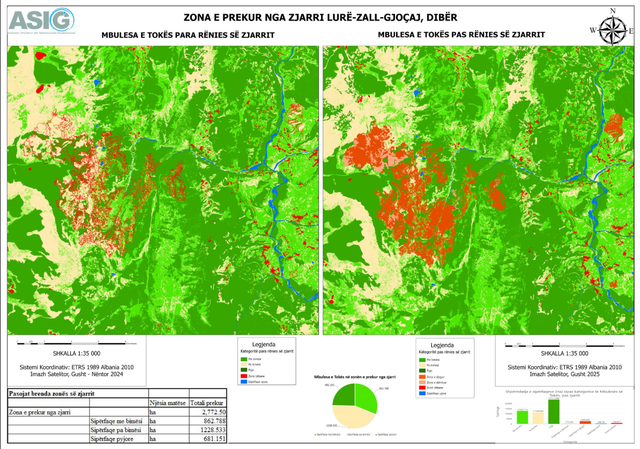
Through satellite images, assistance from ASIG experts at the Remote Sensing Data Processing Directorate for the National Civil Protection Agency (AKMC) has continued to conduct analyses on the changes that occurred in the natural disaster event from the fires of recent days in the country.
We are talking about the areas "Lurë Zall-Gjoçaj, Dibër" and "Bogë-Razëm-Dedaj, Malësi e Madhe".
Using advanced technology, maps of fire-affected areas have been constructed, adding elements that are important for: Assessing, monitoring and managing fire risk, taking structural measures to reduce risk and assessing fire damage./CNA


New details emerge from the complaint about the disappeara...

The Ministry of Agriculture, following the sharing of data...
The disappearance of the former Deputy Director General of...
Due to the deteriorating hydrometeorological conditions pr...
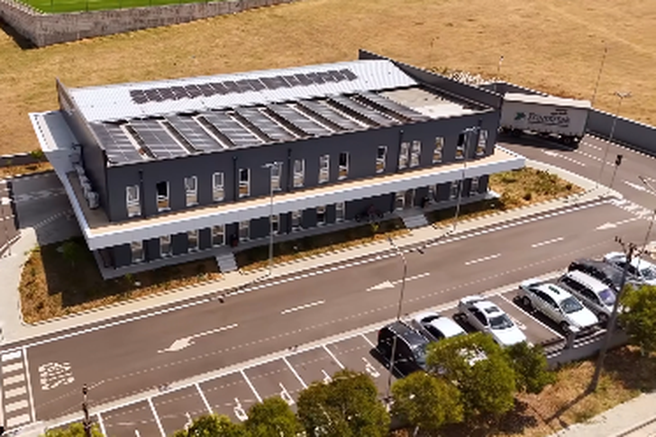
Si pjesë e një nisme për më shumë energji të gjelbër, Drej...
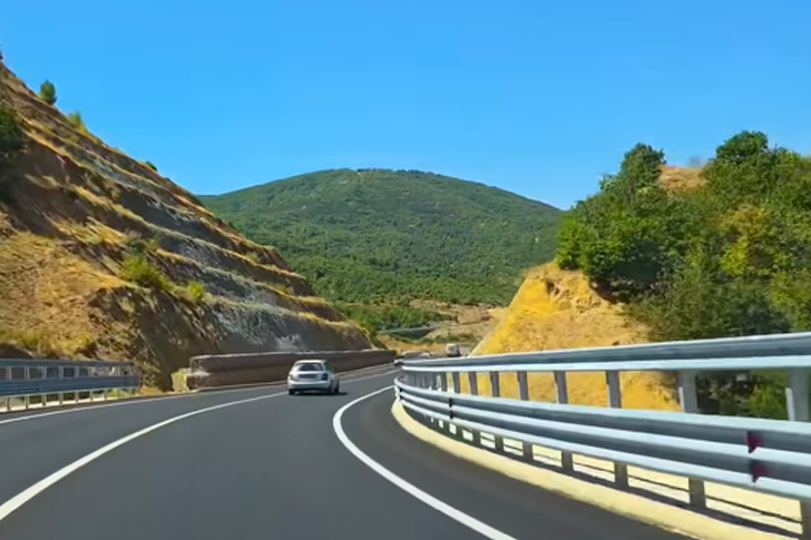
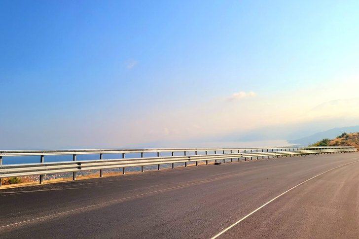
The last lot of the 9.3 km Qukës-Qafë Plloçë axis is almost ...
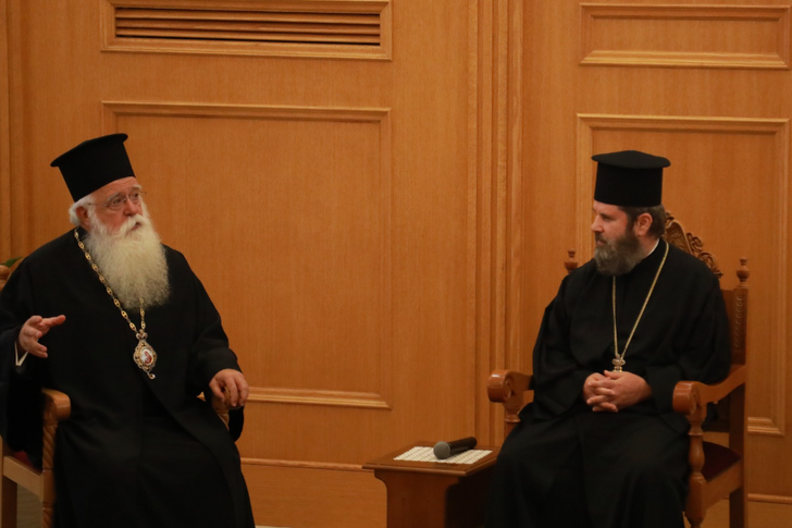
His Beatitude, Archbishop of Tirana, Durrës and all Albani...

The Mayor of Tirana, Erion Veliaj, who is in the cells of ...

The Alliance of Free Professionals (APL), in a letter addr...

The efficiency of reform implementation will increase the ...

The Traffic Police have intensified 24/7 monitoring of roa...

The health condition of former Minister of Health, Ilir Be...
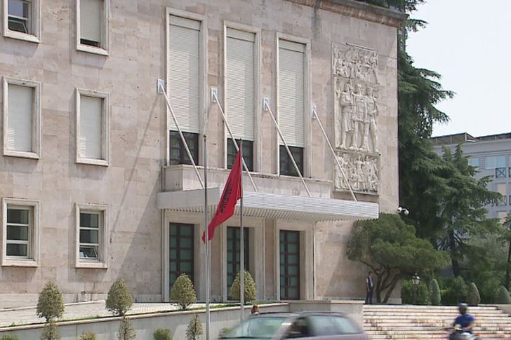
The government has proposed changes in the organization of...

The Tax Administration, following the implementation of th...

The General Directorate of Road Transport Services has not...
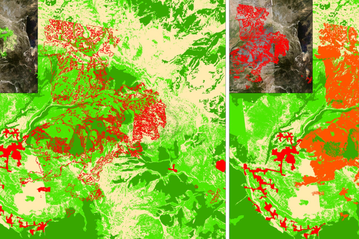
ASIG experts at the Directorate of Remote Sensing Data Pro...
Two fires started this afternoon near the village of Boriz...
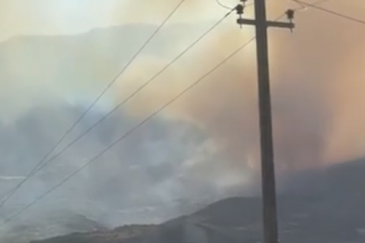
Një vatër zjarri është përhapur në kodrat e fshatit Lapard...
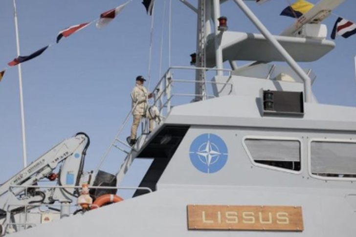
The Albanian Naval Force ship "Lissus" and the 22 sailors ...
Prime Minister Edi Rama has published some images of the Q...

Irfan Hysenbelliu claims to be a big businessman, an hones...

The murder of officer Enea Mekolli in the line of duty has...

The next case broadcast on the show "Stop", this Thursday,...
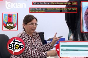
The case published this Thursday, June 4, on the show "Sto...

The Special Board of Appeal (KPA) decided this Monday ...

The KPA vetting decided this Thursday to dismiss the p...

Suela Salavaçi, a prosecutor in the Prosecutor's Offic...

The Special Board of Appeal reinstated the prosecutor ...

A 38-year-old man was arrested today near the Kamza turnof...

A money changer in Durrës lost 60 thousand euros after bei...
The 6 citizens captured in Dubai, members of criminal grou...
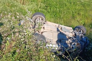
A serious accident occurred on the Kardhiq-Delvinë axis, i...

Today our country will be affected by stable weather condi...

For many children and teenagers, the long summer holidays ...

Albania is facing an unprecedented demographic transition,...
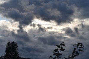
On Thursday, our country will be affected by unstable weat...

On the eve of the EU-Western Balkans summit, Germany and F...

Russian President Vladimir Putin said the war in Ukraine c...

An extraordinary story of survival has been recorded in Ne...

The Peace Implementation Council in Bosnia and Herzegovina...

Korça is ready to open the summer season with one of the c...
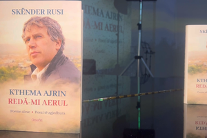
Two years after his passing, the renowned Korçë poet Skënd...
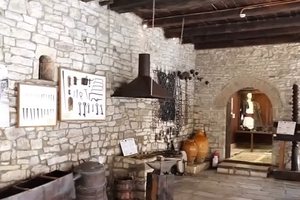
The Ethnographic Museum of Berat has opened its doors to v...
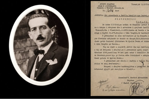
The story of Harilla Bakalli is one of the most chilling t...

Despite years of efforts at regional cooperation and free ...

Albania is the country with the highest level of severe ma...

This Friday, one US dollar is bought for 81.3 lek and sold...

The government aims to transform the country's industrial ...