

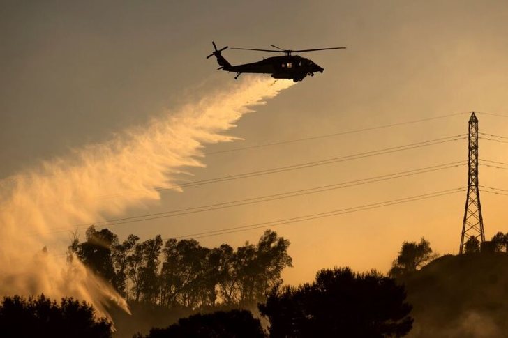
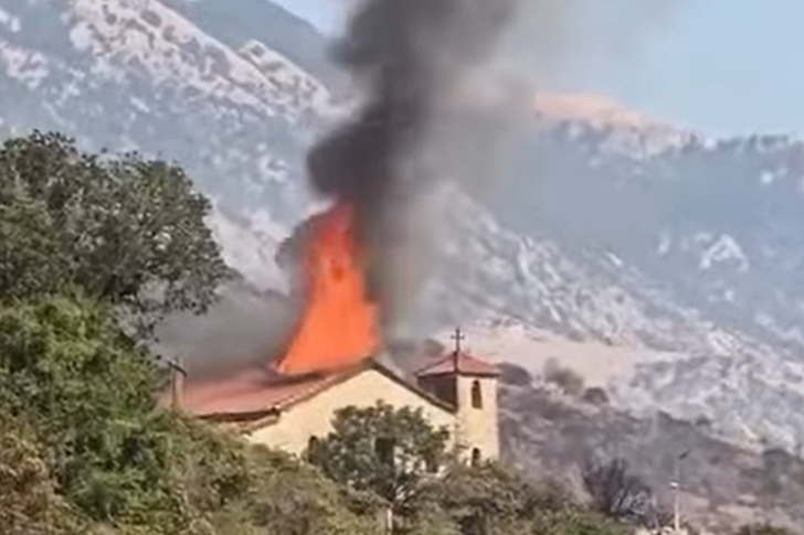
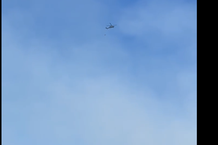
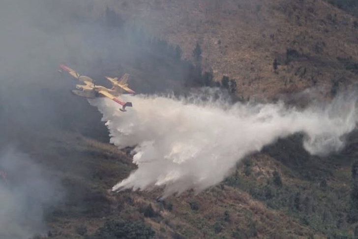
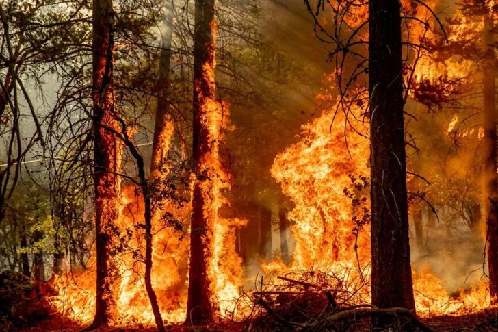
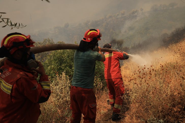
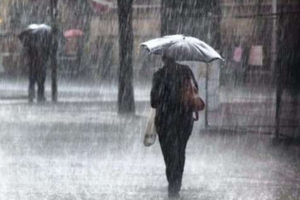
Fires in Velçan/ 2 AF helicopters operate to neutralize the fire
Fires in the Velçan area of Berat created danger for resid...

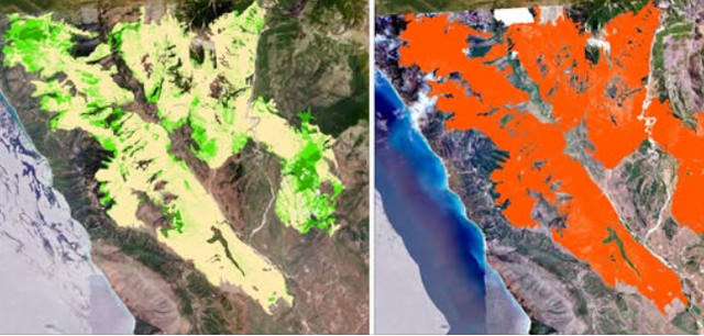
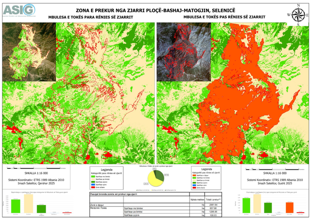
The State Authority for Geospatial Information announced this Thursday that assistance from ASIG experts is continuing at the Directorate of Remote Sensing Data Processing for the National Civil Protection Agency (AKMC) in conducting analyses on the changes that occurred in the event of the natural disaster from the fire that affected several areas of the country.
These are the fires in the areas of Borsh, Shën-Vasil, Himara and Delvina and the areas of Ploçë-Bashaj-Matogjin, Selenica.
Using advanced technology, maps have been constructed for areas affected by the fire, adding elements that are important for:
- Assessment, monitoring and management of fire risk;
-Taking structural measures to reduce risk;
-Evaluation of fire damage. /CNA


Fires in the Velçan area of Berat created danger for resid...

The international media outlet "The Economist" in an artic...

The US Embassy in Tirana has shared important information ...
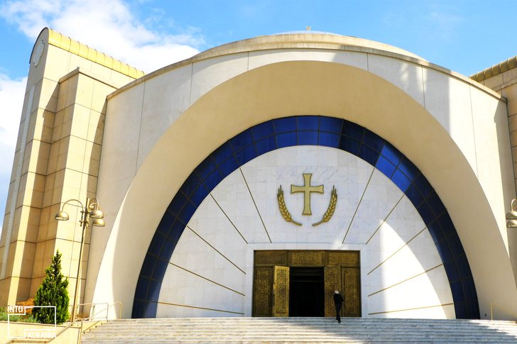
The Orthodox Church of Albania announced this Thursday tha...

Korça, on the evening of August 13, turned on the lights a...
The fires have also damaged cultural monuments. According...
The Ministry of Defense provides details regarding the fir...
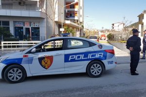
State Police structures throughout the country, throughout...
According to data on the situation in the Shkodra region, ...

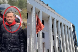
Yesterday, a person claiming to be Vis Bajraktari appe...
Prime Minister Edi Rama, this Thursday morning, assessed t...
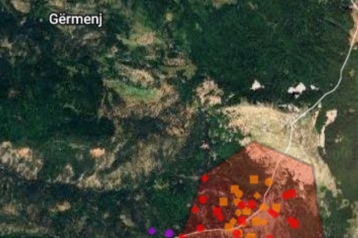
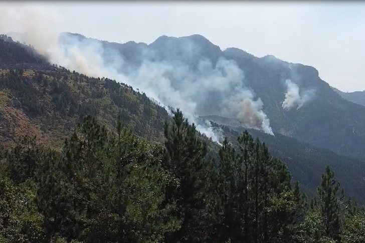
The situation of the fire source near the Gërmenja Natural...
Municipalities across the country are coping with the emer...
The Greek Embassy in Albania has expressed solidarity with...
The World Health Organization has declared the situation c...
Journalist Mentor Kikia reacted today to the numerous cons...

Korça has ignited the atmosphere of the 19th edition of th...
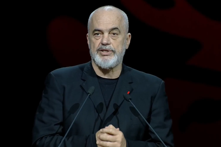
Prime Minister Edi Rama reacted this evening regarding the...
The head of the road traffic sector at the Korça DVP, Klem...
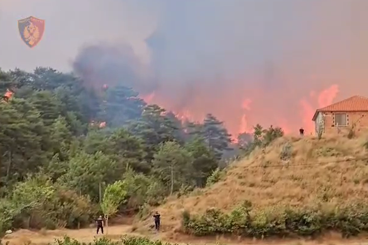
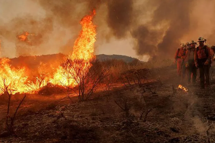
Fires in the Delvina area continue to be active. The spre...
CNA has put under scanner the assets of Sokol Sadushi, the...
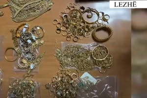
A 39-year-old citizen has been arrested in Lezha, after se...

CNA has launched another investigation that could lead to ...
Irfan Hysenbelliu is a businessman that we call "Irfan the...

The Special Board of Appeal (KPA) decided this Monday ...

The KPA vetting decided this Thursday to dismiss the p...

Suela Salavaçi, a prosecutor in the Prosecutor's Offic...
The Special Board of Appeal reinstated the prosecutor ...
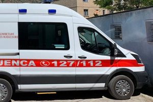
Police have revealed details of the incident that occurred...
According to preliminary information, a person in his 60s ...
A triple accident occurred on the Peqin-Elbasan axis n...
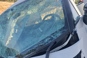
The police have provided details regarding the accident th...
The Institute of Geosciences has today shared a forecast r...
Company leaders can improve productivity by investing in a...
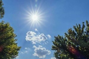
Today, our country will be under the influence of stable a...

As the year 2026 is in its second half, the world is exper...

North Korea is said to have achieved some impressive resul...

US Ambassador to the United Nations, Mike Waltz, said toda...
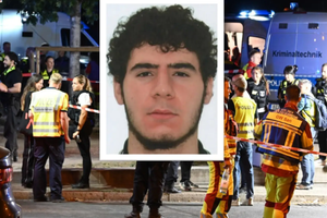
The suspect in the Berlin Pride attack was shot and killed...
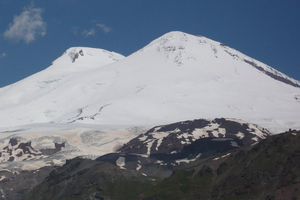
A tragic event occurred this Sunday on Mount Elbrus in the...
Two windows, a century of history and the metaphysics of p...

In my research at the Central State Archives, specifically...

At a time when industrial products are increasingly taking...

Trust among people is not just a three-syllable word. It c...

This Sunday, one US dollar is bought for 81.5 lek and sold...

This Saturday, one US dollar is bought for 81.7 lek and so...
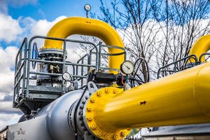
War, weather and supply disruptions could send gas prices ...
The number of active enterprises in Albania continued to g...