


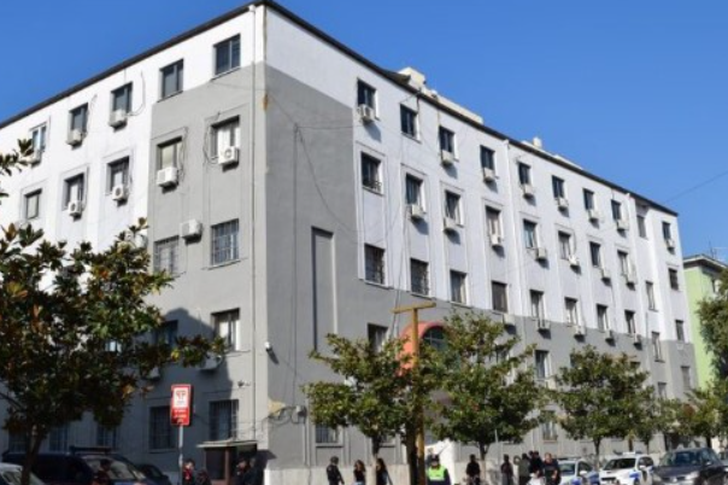
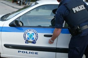
Armë, kokainë dhe cannabis në zonat bregdetare/ Arrestohen dy persona
Policia e Vlorës ka finalizuar operacionin e koduar “Sigur...
Policia e Vlorës ka finalizuar operacionin e koduar “Sigur...

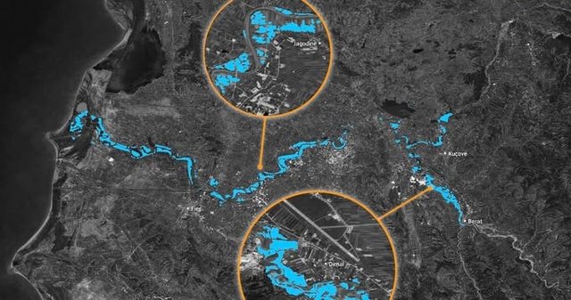
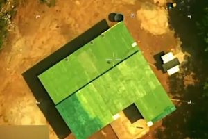
The European Union's "Copernicus" satellite has today released images from space showing the extent of the massive flooding that has engulfed Albania due to heavy rainfall.
In addition to the images, the post below states that the floods affected several cities where the flooding included agricultural lands and caused damage to local infrastructure.
Full post:
Heavy rainfall in early January 2026 caused river overflows in parts of central and western Albania, causing flooding in low-lying areas and along major river corridors.
The event affected several cities, including Fier and Berat, where the high waters flooded agricultural lands and damaged local infrastructure.
The Copernicus Emergency Management Service (CEMS) was activated (EMSR856) on 9 January 2026 to assess the extent of flooding. This data visualization, produced using the CEMS mapping product, shows the flooded areas as of 10 January 2026, with flooded areas represented in blue.
The information provided by CEMS is essential for disaster monitoring and mapping. More information about this activation is available here. / CNA

The famous democrat from Korçë, Ilir Vrenozi, made the dec...

Lëvizja Shqipëria Bëhet ka organizuar ditën e sotme protes...

Monday, April 4, 2022. With suitcases in her hands, a bag ...
Commemorative activities were held in Lezha in honor of th...
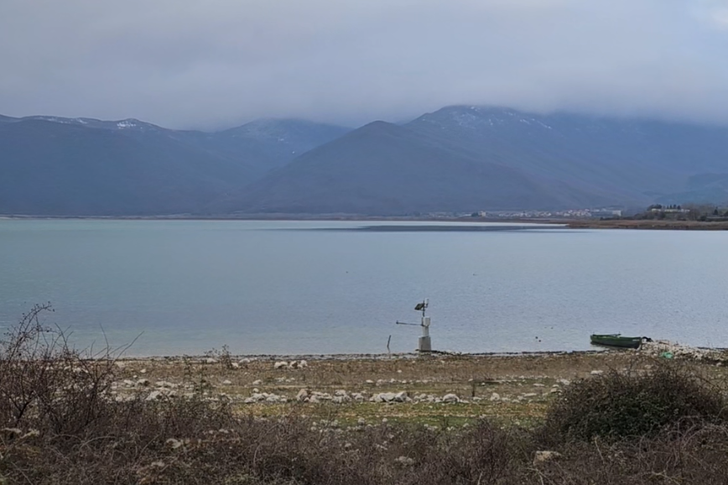
This Saturday, the census of wintering birds in Lake Presp...
The Durrës Court has set security measures for the officia...
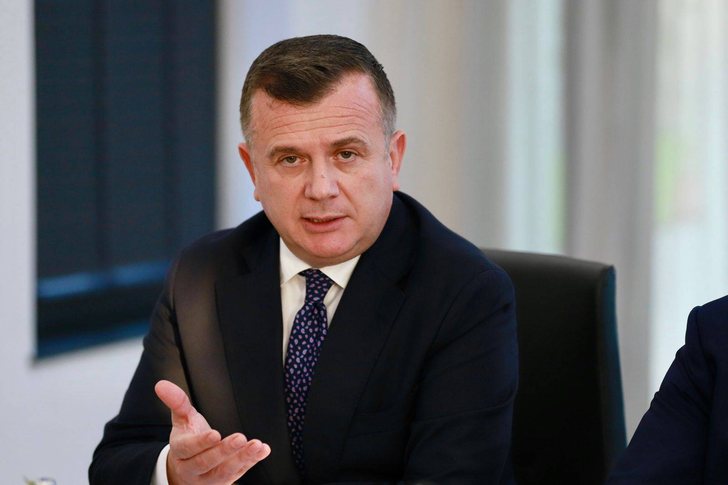
Prime Minister Edi Rama has been clear with the socialist ...
Prime Minister Edi Rama's statements during the "Energy Co...
Prime Minister Edi Rama has warned builders that he will n...

Actor and director Mevlan Shanaj has reacted sharply to Pr...
The head of the Socialist Party Parliamentary Group has re...
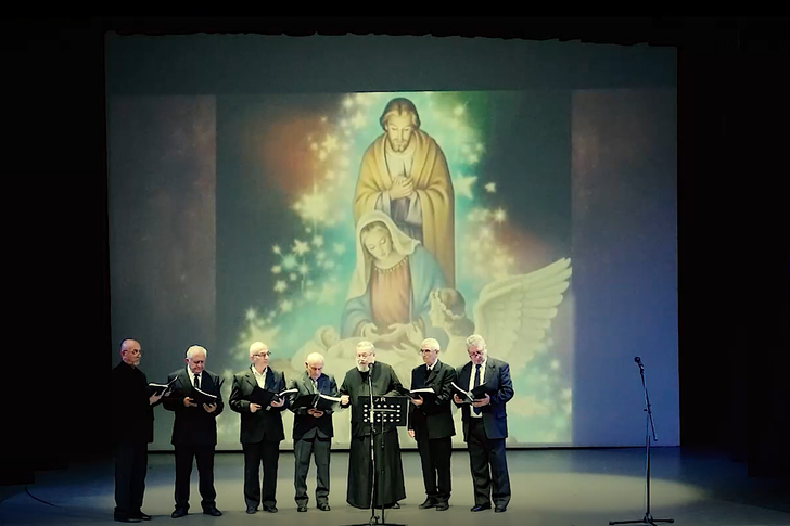
CNA TV tonight at 7:00 PM broadcasts the festive concert "...

It has been reported in some media that behind the subjects ...

Prime Minister Edi Rama stated a day ago at a meeting of t...

After the meeting with the parliamentary group, Prime Mini...
Today, the 8 arrested officials will appear before the Dur...
Journalist Ferdinand Dervishi raised suspicions today that...

Journalist Ferdinand Dervishi spoke today regarding the in...

The Special Prosecution Office and the National Bureau are...
The Albanian Post has reacted this afternoon regarding the...

There have been 12 days of protests in the capital, which ...
Dritan Prençi is the SPAK prosecutor who is sleeping on th...
The in-depth investigations that SPAK conducted into Ajola...
SPAK's standards, the way it investigates, how it secures ...

The Special Board of Appeal (KPA) decided this Monday ...

The KPA vetting decided this Thursday to dismiss the p...

Suela Salavaçi, a prosecutor in the Prosecutor's Offic...
The Special Board of Appeal reinstated the prosecutor ...

Policia e Vlorës ka finalizuar operacionin e koduar “Sigur...

New details have emerged regarding the serious accident th...
An Albanian businessman was arrested this afternoon in Gre...

A serious accident has occurred on the Korça-Ersekë axis, ...
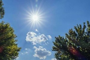
Today our country will be affected by stable weather condi...
A tragic accident occurred this Friday afternoon in Kameni...

Today our country will be affected by unstable weather con...

On Thursday, our country will be affected by relatively un...
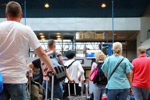
Good news for those who fly: After years of negotiations, ...
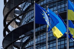
It took more than two years, but now the EU can begin acce...
US President Donald Trump announced that the US military h...
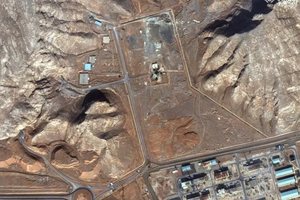
Iran has taken new measures to strengthen the protection o...
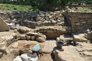
Several archaeological excavations conducted during this s...

At the Museum of Fine Arts in Chambéry, France, an exhibit...

Korça has transformed this weekend into the capital of cel...

Korça is ready to open the summer season with one of the c...
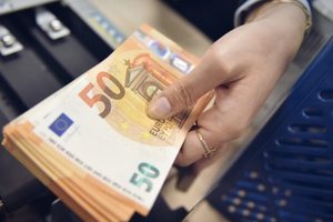
This Saturday, one US dollar is bought for 81.5 lek and so...
The Governor of the Bank of Albania, Gent Sejko, shared to...

Business lending has increased in the first half of this y...

The labor market has shown worrying trends in early 2026. ...